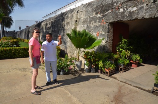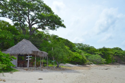
As we’ve become more familiar with the streets and the neighborhoods, we decided to walk from the old town to the fort, Castillo San Felipe.

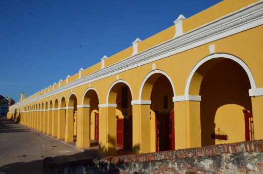
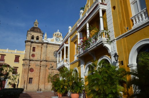
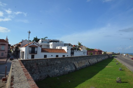
The main gate to the old walled city
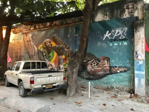
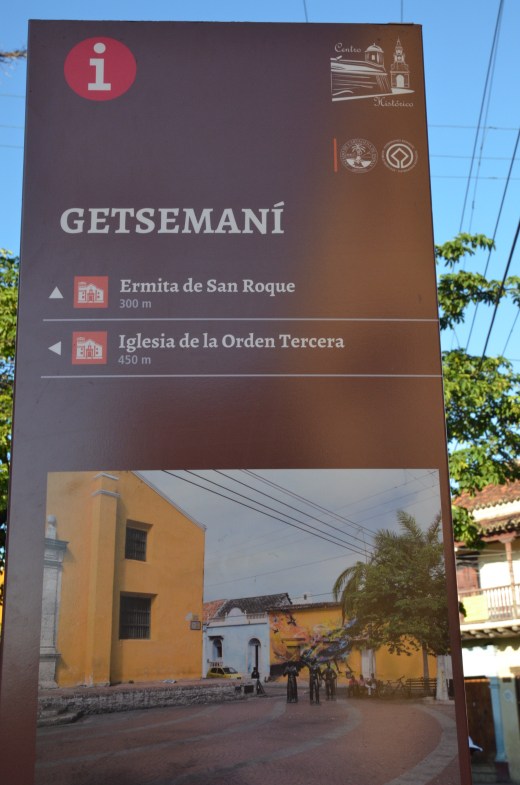
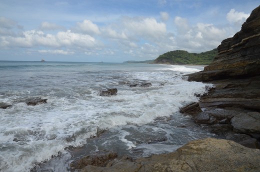
Through the main gate, past Getsemani, and over a bridge to the fort. It was only a bit over a mile but it was 85 F and very humid, so it felt further.


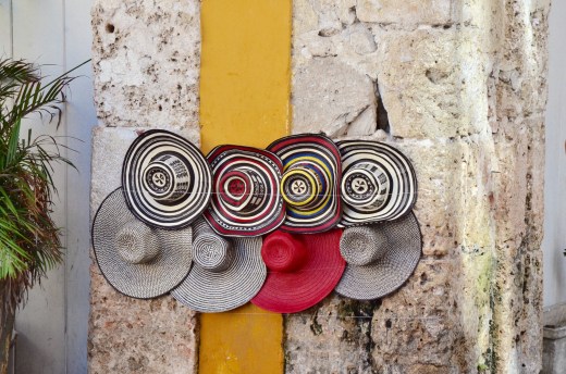
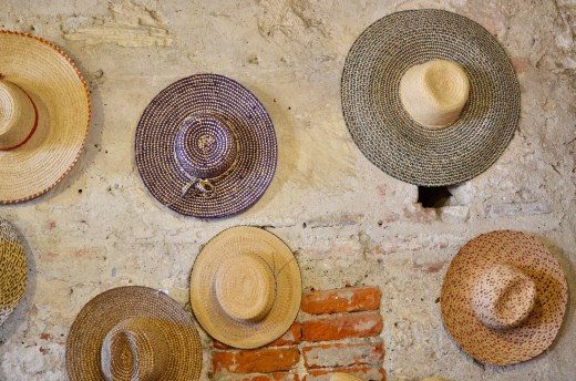
We finally succumbed to a street vender selling hats so intense was the sun.


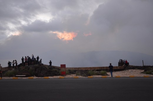
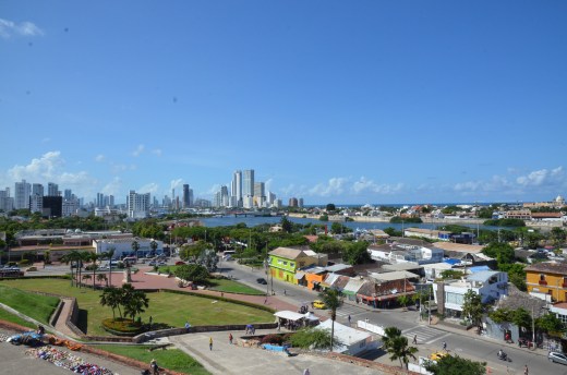
We climbed the fort and admired a great view of the surrounding area. I’m thinking that’s why they put it here on top of San Lazaro Hill.

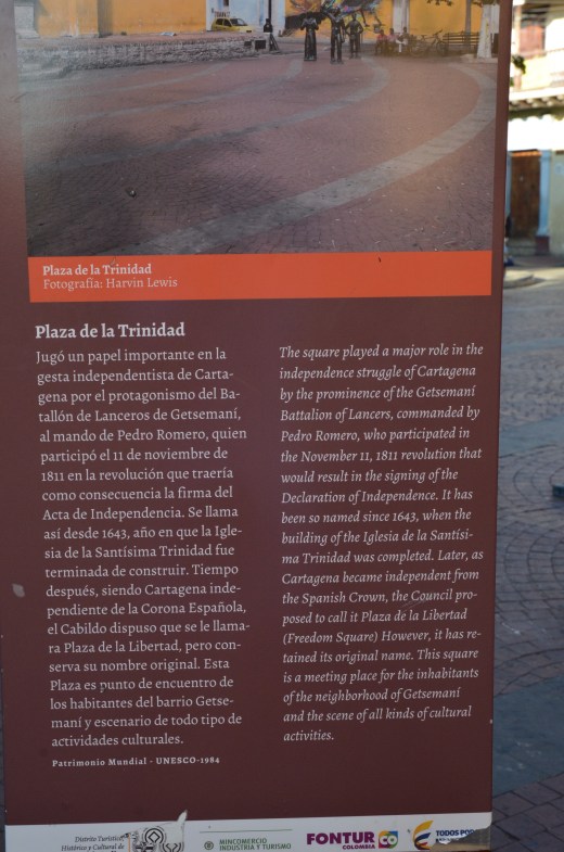
The first fortification in this area was built in 16th century by the Spanish Crown. The first stage of the stone fortress began in 1656. It was named San Felipe de Barajas to honor King Philip IV and the ancestors of the governor, the Counts of Barajas. It is the greatest fortress ever built by the Spanish in any of their colonies. After independence in 1811 the fortress fell into neglect. Restoration began in 1928. It is now part of the Cartagena Cultural Heritage Ensemble included by UNESCO in the World Heritage List in 1984.


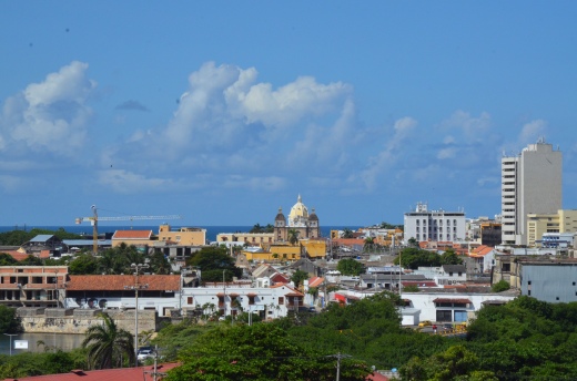
The roofs of the old town area from the fort.


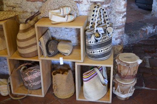
There was a gift shop and a handicrafts shop at the top of the fort. The hats and purses were all handmade locally and the nicest we’d seen yet.
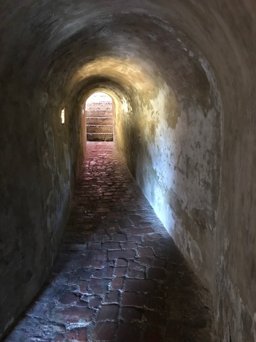
The fort has tunnels running through it, but we didn’t venture very far into them. Here is what the Lonely Planet guide book says about the tunnels:
A complex system of tunnels connected strategic points of the fortress to distribute provisions and to facilitate evacuation. The tunnels were constructed in such a way that any noise reverberated all the way along them, making it possible to hear the slightest sound of the approaching enemy’s feet, and making it easy for internal communication.


The sun was brutal on the stone of the fort so we stayed only about an hour, and once again made the hot walk back to the old town.

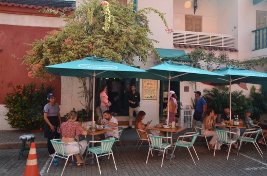
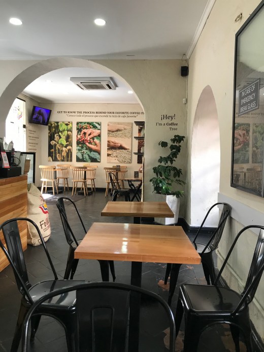
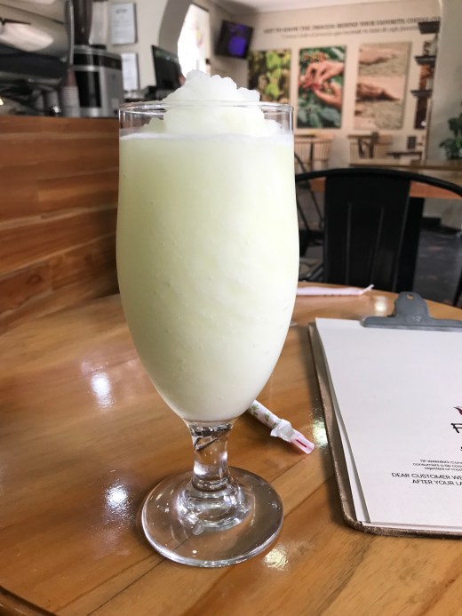
We have found a wonderful little cafe in the old city that serves up great coffee and frozen lemonade. We’ve become regulars, beating the heat and enjoying the frozen coconut lemonade.

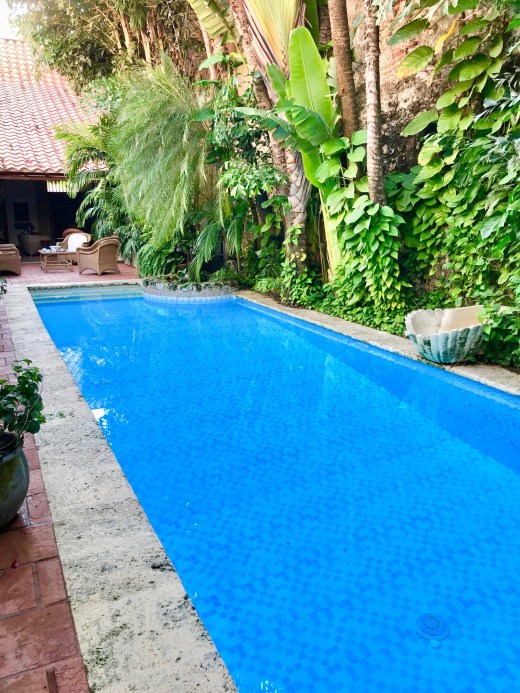
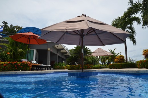
As in most hot humid climates, midday is best spent in the pool or resting in a shady spot. That has been our routine.

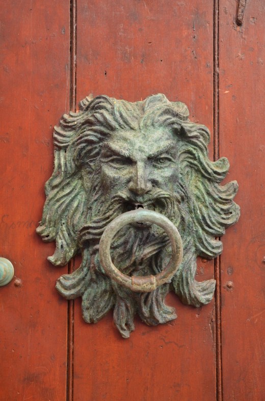
A shop window in the old town.
We had two really stellar meals. The first was at a restaurant called El Boliche Cebicheria. A small one room dining room in old town, it was open until 3 pm for lunch. We went at 2 and had it to ourselves. We spoke with the owner and chef and learned Condé Nast had also reviewed it.


The dishes were beautifully presented and thoughtfully prepared.

Appetizer.

Coconut ceviche, white fish, squid, shrimp, octopus, conch, coconut milk, red onion, cilantro, sweet pepper, yellow pepper, and natural coconut.

Quinoa Tabule Salad. Dried tomatoes, pickled carrots, grilled vegetables and coconut rice.

Grilled mussels with gaelico oil and bruschetta.
The meal was wonderful and would last us the rest of the day.

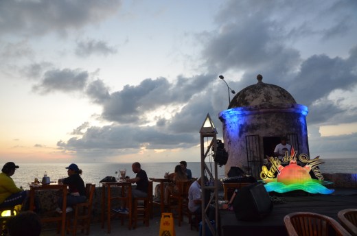
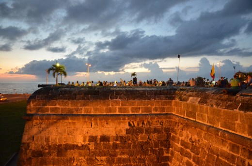
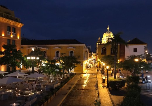
Around 5 or 6 pm the temperature becomes bearable again and we head back out.

A wicker basket becomes a beautiful light fixture.
Our second stellar meal was our final lunch at Candé, Cocina 100% Cartagenera. It was just two blocks from Casa Mejia.

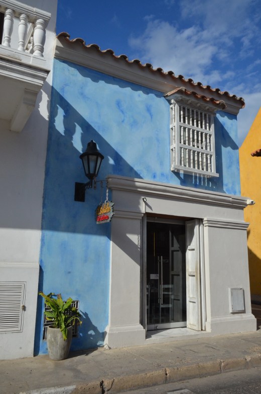
The front of Candé.


Ensalada de Coteros.

Ceviche with coconut.

Filete de Atun Aleta Amarillo. Seared yellowtail tuna with roasted local pepper sauce and plantain purée.

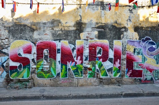
Wandering the streets we stumbled upon an art exhibition in a cultural center. It had just opened five days ago. It was a beautiful building.


This painting is by Boce Se.


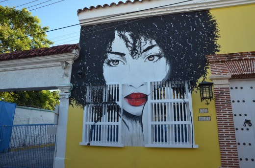
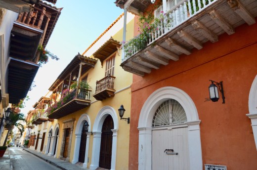
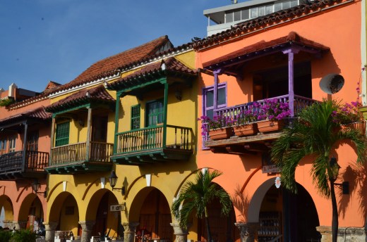
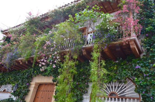
A pretty street corner.
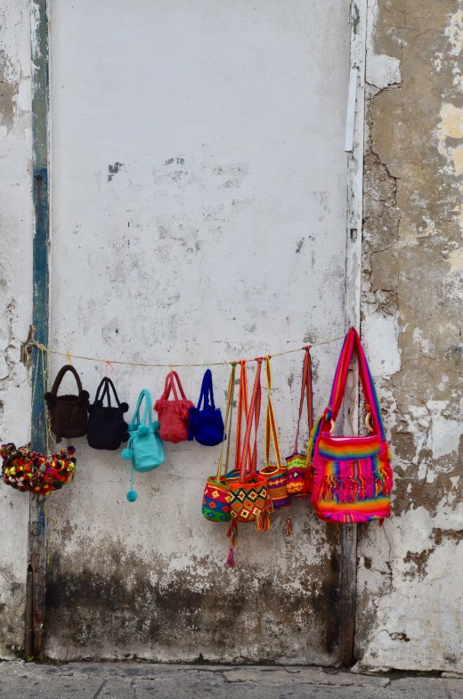
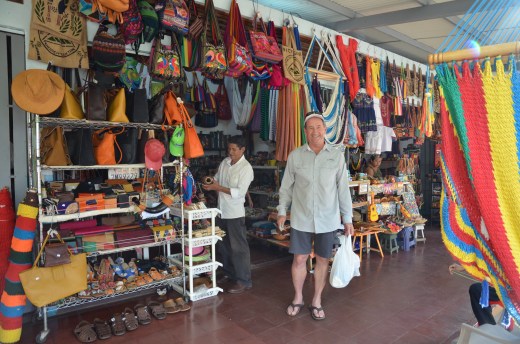
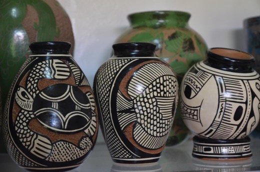
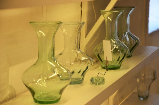
My favorite shop in the old town was AJA Company. The majority of the handmade products are made by women from all over Colombia.


Things to remember for future travel to Cartagena:
Comfortable stable shoes are a must. The streets were uneven and had open drop offs. Pay attention to where you are walking. Old town is full of peddlers but they were all polite. If we said no, they usually said ok and walked away. A hotel with a pool for midday heat relief is a good idea. We never felt unsafe walking the old town and Getsemani areas, even at night. Everyone was friendly. It is extremely hot and humid, so a hat and water were necessary, as pointed out by many hat selling street vendors “necesario”.